George Pyne
Full-stack Geospatial Software Enginer. Spatial Data Scientist.
Skills & Experience
Address Resolution
Production level geocode integration experience.
Routing and Accessability
Experience of developing dedicated routing engines.
Map Hosting
Web map hosting, geospatial data sharing and tile server experience.
Digital Visualizations
Interactive, animated and sharable maps with dashboard support.
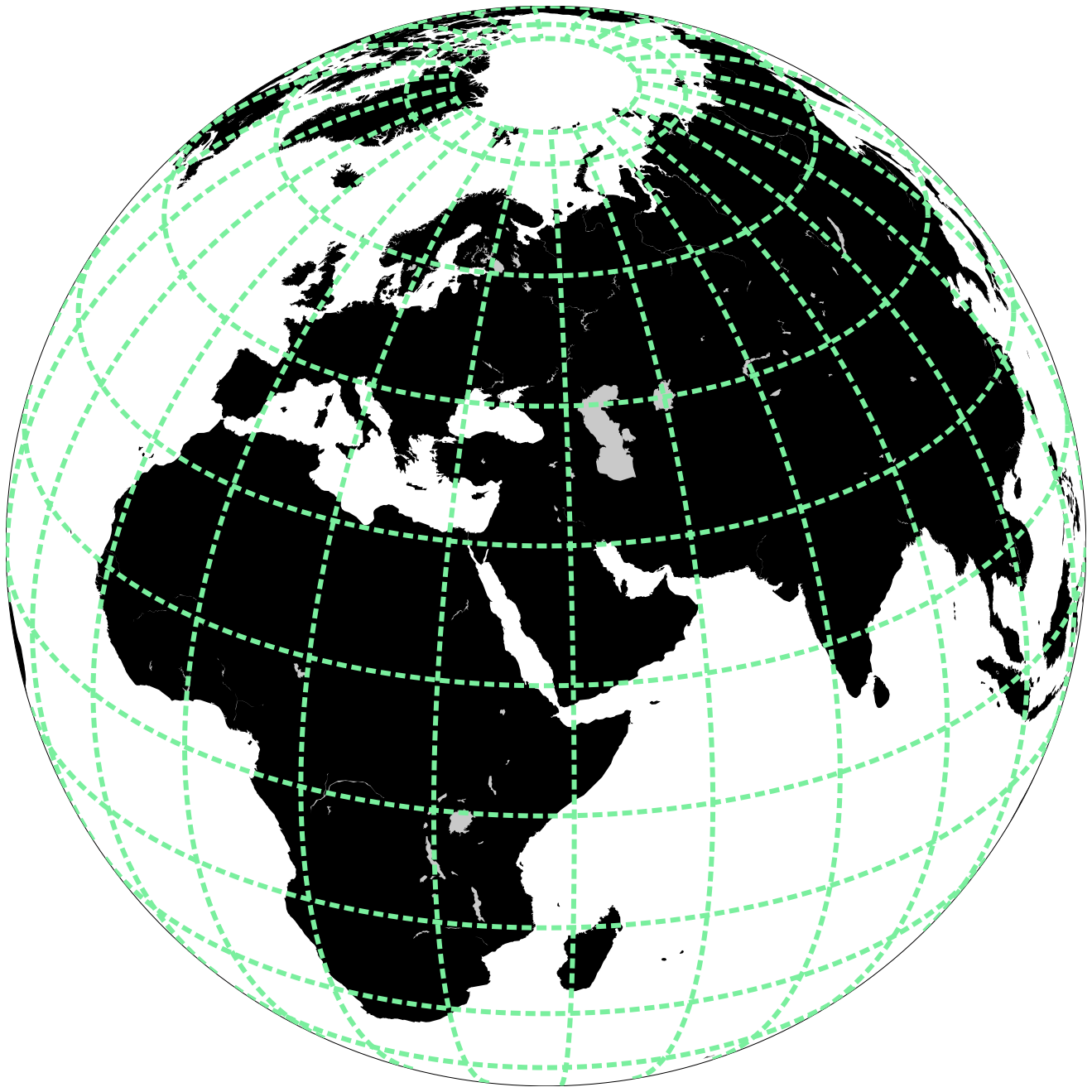
Spatiotemporal Data
Scalable data mining, visualisation, indexing, analytics and AI modelling.
Spatial Analysis (GIS)
Experience of spatial analysis & geostatistics.
Projects & Demos
Some of my projects, demos and photos

Geocoding
- Global coverage for address resolution
- Dedicated server for batch geocoding
- Interactive address suggestion API

Routing Engine
- Global coverage for batch A-to-B routing
- Multi-destination route optimization
- Drive, cycle and walk coverage zones
Map Server
- Web map visualization engine
- Geographic data exchange services
- Web map tile server support

Interactive Maps
- Create interactive & animated maps
- Web GIS data explorer
- Dashboard integration

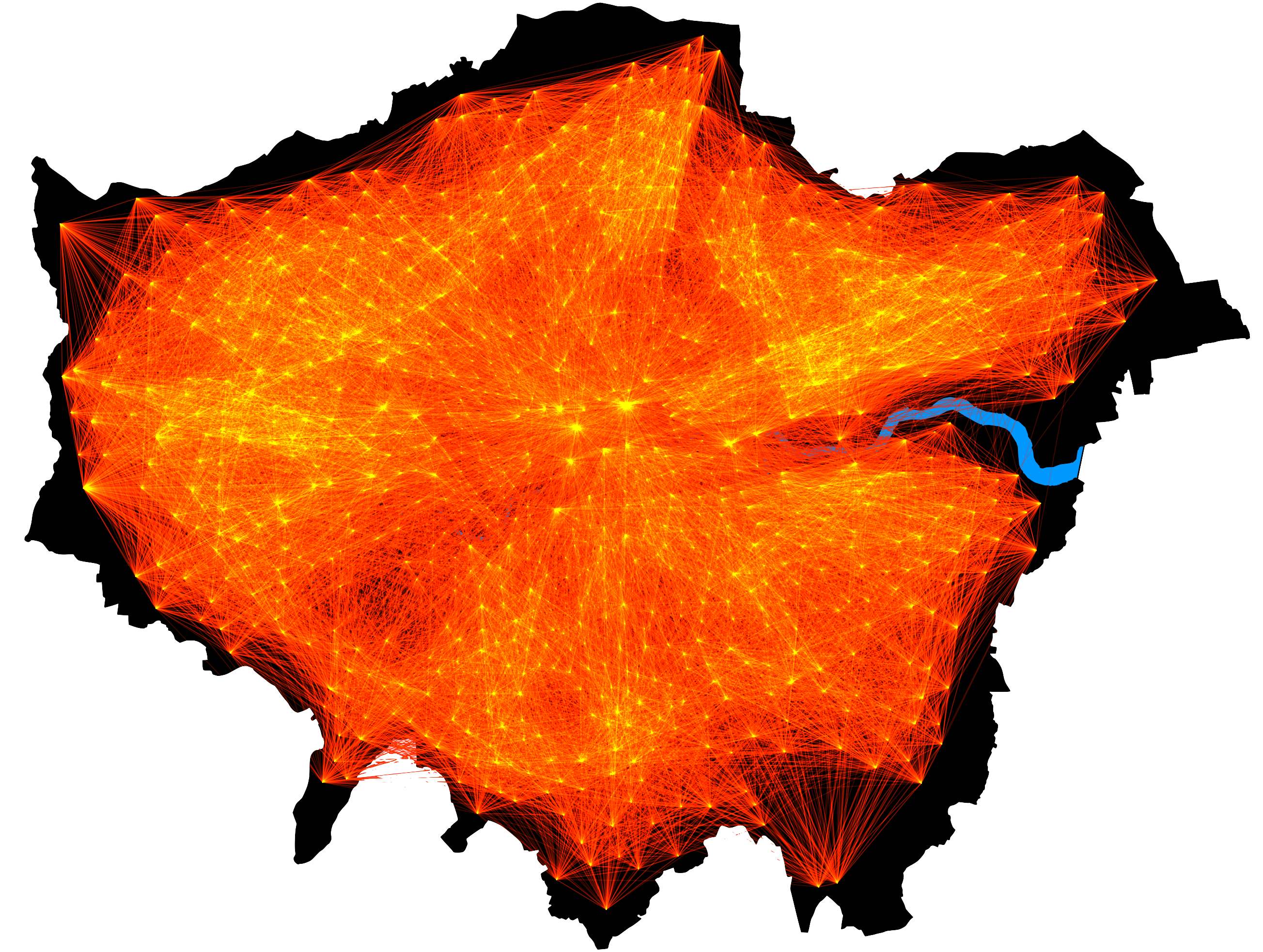
Commuter Data Analysis
- Scalable spatial analysis for huge datasets
- Visualizations & heatmaps of large space-time data
- Efficient space-time data querying

Spatially Aware AI
- Forecast demand within spatial networks
- Bespoke spatial analysis AI models
- MLOps integration with other location services
Education

BA Geography (Geocomputation & Spatial Analysis)
King's College London
I have a first class BA in Geography (Geocomputation & Spatial Analysis) at King’s College London - I focused on the geocomputation pathway, GIS and urban geography. My dissertation presented a machine learning model to predict community car dependency based on millions of origin-to-destination commute journeys. My modules included histories & geographies of climate change, applied geocomputation & spatial analysis and advanced issues in natural & environmental hazards.
MSc Spatial Data Science & Visualization
University College London
I passed my MSc in Spatial Data Science and Visualization at University College London’s Centre for Advanced Spatial Analysis (CASA) with merit. I focused on digital web map visualizations, data science for spatial systems and spatiotemporal data mining. My thesis presented a space-time algorithm for clustering and indexing group movement patterns from movement datasets. My modules included data science for spatial systems, web & mobile GIS development, quantitative methods, programming, digital visualizations and geographic information system & science.
Experience
Intern at Vantagist AB
Stockholm
I worked in Stockholm as an intern at Vantagist - an analytics company who provide efficient analysis and visualization tools for large motion datasets. I was responsible for optimizing geo-computational methods for efficiently rendering heatmaps for huge datasets.

RBC Amplify Data Scientist
London & Toronto
I was accepted to the RBC Amplify program which sets teams of interns organizational challenges to be overcome by technology. My team was responsible for developing RBC Ark - a machine learning tool to match client information in disparate databases. Our team flew to Toronto to pitch this technology to the CTO and other C-suite executives, we signed a provisional patent for this technology and received the most disruptive prize in the competition.
Geospatial Software Engineer
Toronto
I moved to Toronto to join the Royal Bank of Canada Data & Analytics Location Intelligence team as a geospatial software engineer. I co-authored a provisional patent for a novel system and methodology for processing multidimensional time series data. I worked on the mission-critical payment engine for resolving millions of dollars daily for the SWIFT payment network, the Location Intelligence Visualization Engine for sharing interactive web maps across the organization, and the occurrent database for advanced space-time operators to process huge space-time datasets.